


Page 40 - topcoverissue19
P. 40
40   TOP COVER   SPRING 2024                                                                     ADVERTORIAL


         FROM THE SKY TO THE STREET: TACTICAL  APPLICATION OF MOSAIC AND AIRBOX


         How an app designed to help pilots navigate became a powerful tactical tool due to be rolled out across armed policing in the UK


          When William Moore founded Airbox in 2008, he
          had no idea that the software he had designed
          would end up as a cornerstone of interoperability
          for Britain’s emergency services. He admitted
          that his focus was entirely on aviation, but that all
          changed when he met Gerry Hill, who came with
          decades of first-hand counter-terrorism experience.
           William and Gerry soon discovered that they
          shared a passion for protecting lives: “Originally I
          was just sitting in an office trying to make navigation
          easier for pilots,” explained Moore. “But Gerry
          recognised the tactical application of what we had
          straight away.”
           That tactical experience opened the door for
          Airbox to begin development of their ground-based
          software, and while the aviation function remained
          its own product, the underlying technology was
          soon being deployed with police forces across the
          UK as the MOSAIC and Airbox Track applications.

          A secure, shared, real-time
          operating picture
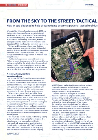
           At its core, MOSAIC provides users with digital
          maps on a phone or tablet which are stored on
          the device and therefore don’t require an internet
          connection to view. Those maps can be overlayed       MOSAIC users understand the operational picture.
          with geo-referenced graphics, embedded with           Originally designed and deployed to support
          documents linked to specific locations, or even       operations across county borders, its utility was soon
          annotated by the user drawing on the screen.          recognised and its usage expanded.
           When a data connection is available, those             “Airbox Track was deployed to all Armed
          annotations and each user’s location are shared       Response Vehicles in England and Wales,”
          instantly, with users able to select how much of the   explained Roy Grassie, Operations and Delivery
          detail in each ‘layer’ that they want to see at any   Programme Manager at Airbox Systems. “MOSAIC
          time, while adding context by securely sharing text   on the other hand, allows each officer to see
          messages in groups. Video feeds from a variety        the complete operational picture.” As a former
          of sources, including drones and even consenting      firearms officer himself, Grassie is well equipped
          civilian mobile phone users outside the network,      to understand the potential for technologies like
          can also be selected for display in discrete windows,   MOSAIC and Airbox Track to support their work.
          adding to the user’s understanding of the situation     MOSAIC is now being procured under a
          on the ground.                                        national Police Digital Services framework, to
           The result is a secure, shared, real-time operating   increase interoperability between firearms officers
          picture. It takes only a glance to understand the     and surveillance teams, and to enable cross-
          situation and your team’s place within it.            organisational collaboration. The aim of the roll-out
           Airbox Track was a partner application that          is to enable officers to join MOSAIC networks of any
          broadcast its location on a MOSAIC network.           other force, providing them a secure environment to
          Users who didn’t need access to the mapping           coordinate using a common system. With the system
          and annotation could still be tracked, helping        already widely used across UK ambulance services

          WWW.PFOA.CO.UK

